Drone photography · Video · Construction documentation

See Your Property From a Whole New Perspective.

Professional drone photography, cinematic video, and construction progress documentation serving Stafford, Fredericksburg, Spotsylvania and surrounding Northern Virginia communities. Never hired a drone pilot before? No problem. I'll handle the planning, flying and editing.

Free quotes · No obligation · FAA Part 107 certified

FAA Part 107Certified remote pilot
Locally operatedRight here in Virginia
Photo & videoProfessionally edited
ConstructionProgress documentation
Custom reportsOrganized deliverables

Not sure where to start?

What are you hoping to do?

Pick the one that sounds most like you and I'll point you in the right direction.

Services

How I can help

Every job includes flight planning, airspace checks and edited results. You don't need to know anything about drones.

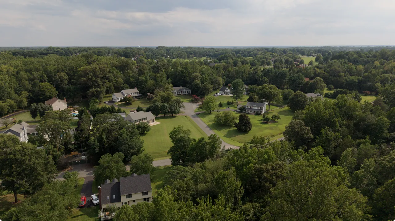
Aerial of a wooded residential neighborhood

Real Estate & Property Photography

Show buyers the whole picture: the home, the land and everything nearby.

  • Residential & luxury listings
  • Land and acreage
  • Commercial property overviews
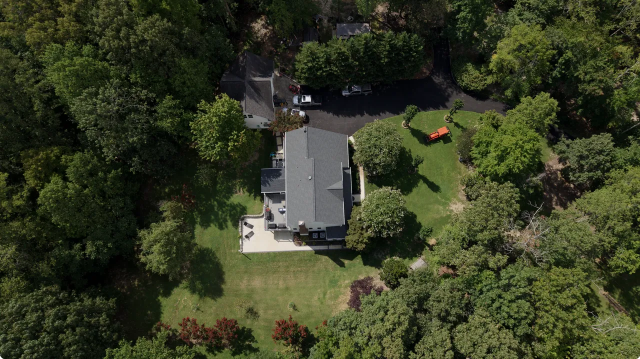
Top-down aerial of a home and roof

Roof & Property Documentation

Detailed, organized photos of roofs, exterior structures and hard-to-reach areas. No ladders, no climbing.

  • Close, high-resolution detail images
  • Before/after storm records
  • Organized delivery for your files

Visual documentation only. It doesn't replace an inspection by a licensed roofer, engineer or insurance adjuster.

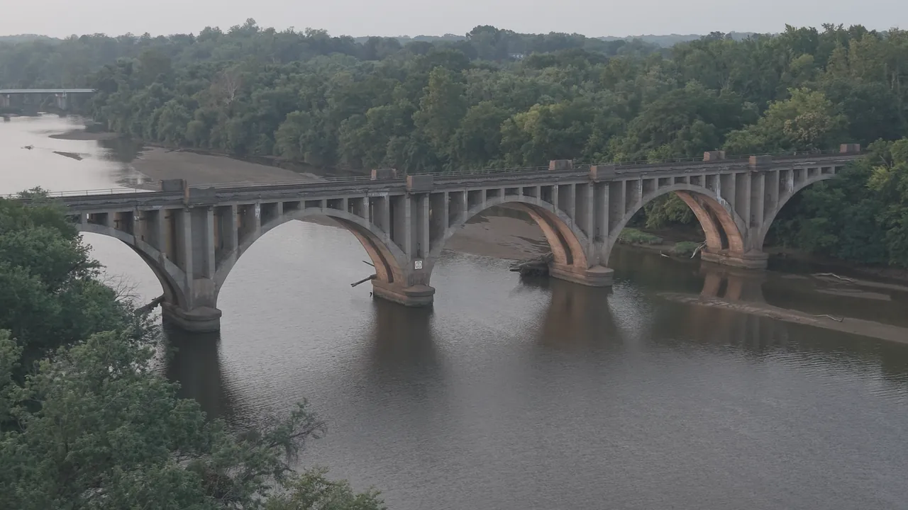
Aerial of an arch bridge over the Rappahannock River

Cinematic Drone Video

Smooth, cinematic footage that makes a property or place feel special.

  • Property and promotional films
  • Fly-through filming where safe and appropriate
  • Social-ready vertical edits
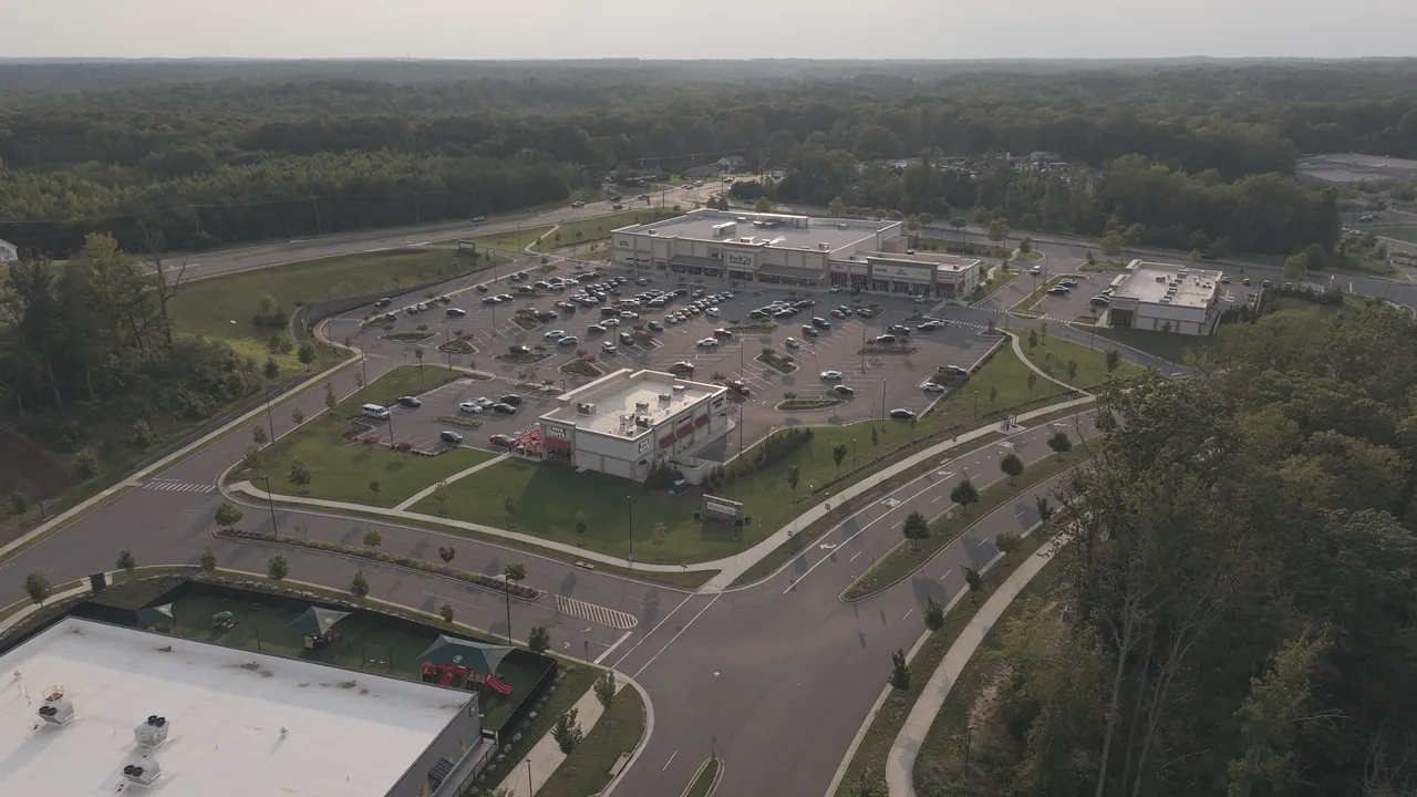
Aerial overview of a retail center

Business & Event Promotions

Aerial content that helps local businesses, venues and events stand out.

  • Business promotional videos
  • Outdoor event coverage
  • Tourism, venue & social media content

Advanced Flight Data & Reporting

Video presentations with available telemetry (location, altitude, speed and a synchronized map), produced with my own Flight Studio software.

  • Telemetry & map overlays
  • Flight log documentation
  • Great for reports and records

Portfolio

Explore the work

Select a project to view the full gallery. Use the arrow keys or swipe to move between images.

How it works

Four simple steps

Here's exactly what to expect, from first message to finished photos.

Say hello

Fill out the short form. A rough idea is plenty; I'll ask any questions I need.

Get a clear quote

I check the location and airspace, then send a simple, up-front price.

I fly, you relax

I handle safety, airspace authorization and weather. You don't need to be on site.

Enjoy your results

Edited photos and video delivered by download link, ready to share.

Technology

Better Aerial Documentation, Powered by Flight Studio.

Go beyond ordinary drone footage with synchronized flight information, map-based visualization, and organized reporting capabilities. Flight Studio is software I built and develop myself.

Telemetry overlaysFlight data displayed on the video
Synchronized mapSee where each shot was taken
Altitude & speedShown in feet and mph
Flight log documentationOrganized records of each flight
Construction reporting In developmentProject-based progress reports
Footage presentationClean exports for clients and social
Visit Flight Studio ↗
Estep's Aerial logo

Meet your pilot

Hi, I'm Brandon. 👋

I run Estep's Aerial, the drone services division of Estep's Solutions LLC. I love aerial photography and video and helping people see their places in a whole new way. I'm an FAA Part 107 certified remote pilot.

I also build my own drone software, including Flight Studio, so I'm a little obsessed with flight data, organization and getting the details right. Whether this is your first time hiring a drone pilot or your fiftieth, I'll keep things simple, safe and stress-free.

FAA Part 107Certified remote pilot
Safety firstEvery flight planned and checked before takeoff
DJI Mini 5 ProAerial photo & 4K video
DJI Avata 360Immersive fly-through & 360° capture

Questions

New to drone services?

Here are answers to the questions people usually ask first.

Do I need to know anything about drones?

Not at all. Just tell me what you want to show and how you plan to use it. I'll recommend the right shots and take care of everything else.

How much does it cost?

It depends on the location and what you need, but quotes are always free and up-front. Send a quick message and you'll get a clear price before anything is booked.

Is it legal and safe?

Yes. I'm an FAA Part 107 certified remote pilot. I check airspace and weather before every job and request any authorization the location requires.

Which areas do you serve?

Stafford, Fredericksburg, Spotsylvania and the surrounding Northern Virginia communities. If you're a bit farther out, just ask.

Do I need to be there during the flight?

Nope, though you're welcome to watch! I just need access to the area and a heads-up about anything I should know.

What if the weather is bad?

Safety comes first, so if it's too windy or rainy I'll reschedule at no extra cost.

Can drone photos replace a roof or property inspection?

No. Aerial photos are great visual documentation, but they don't replace an inspection by a licensed roofer, engineer or insurance adjuster. Many people share the photos with those professionals.

How quickly will I get my photos?

Usually within a few days. If you're on a deadline, let me know and I'll do my best to make it work.

Free quote

Tell me about your project

No pressure and no commitment. Send a message and I'll reply, usually within one business day.

Serving Stafford, Fredericksburg & Spotsylvania, VA

Tip: Not sure what to write? The location and what you'd like people to see is plenty to get started.

Request your free quote

Free and no obligation. Your details are only used to reply to your request.